Reference : Wikipedia
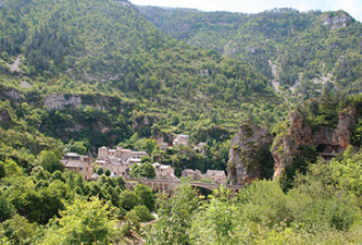
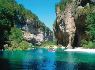
The Gorges du Tarn is a canyon formed by the Tarn River between the Causse Méjean and the Causse de Sauveterre, in southern France. The canyon, mainly located in the Lozère département, and partially in the Aveyron département, is about 53 kilometres (33 mi)-long (from the village of Quézac to Le Rozier, and 400m to 600m deep. The architecture of the gorges is relatively simple, with Mesozoic limestone plateaux downstream presenting sub-vertical cliffs, though faults like the Hauterive Fault upstream explain the important water sources in the region of Saint-Enimie (the Burle source and the Coussac source, the latter joining the Tarn in an impressive waterfall), and the more complex geology. In the quaternary, the gorges were also affected by a volcanic activity whose traces can be found in the Sauveterre Causse, in the form of a double volcanic dip, and in the basaltic rocks next to Eglanzines. The climate is mediterranean, with relatively mild winters and very warm summers.
The Gorges du Tarn is a canyon formed by the Tarn River between the Causse Méjean and the Causse de Sauveterre, in southern France. The canyon, mainly located in the Lozère département, and partially in the Aveyron département, is about 53 kilometres (33 mi)-long (from the village of Quézac to Le Rozier, and 400m to 600m deep. The architecture of the gorges is relatively simple, with Mesozoic limestone plateaux downstream presenting sub-vertical cliffs, though faults like the Hauterive Fault upstream explain the important water sources in the region of Saint-Enimie (the Burle source and the Coussac source, the latter joining the Tarn in an impressive waterfall), and the more complex geology. In the quaternary, the gorges were also affected by a volcanic activity whose traces can be found in the Sauveterre Causse, in the form of a double volcanic dip, and in the basaltic rocks next to Eglanzines. The climate is mediterranean, with relatively mild winters and very warm summers.


